GIS Applications for various Departments
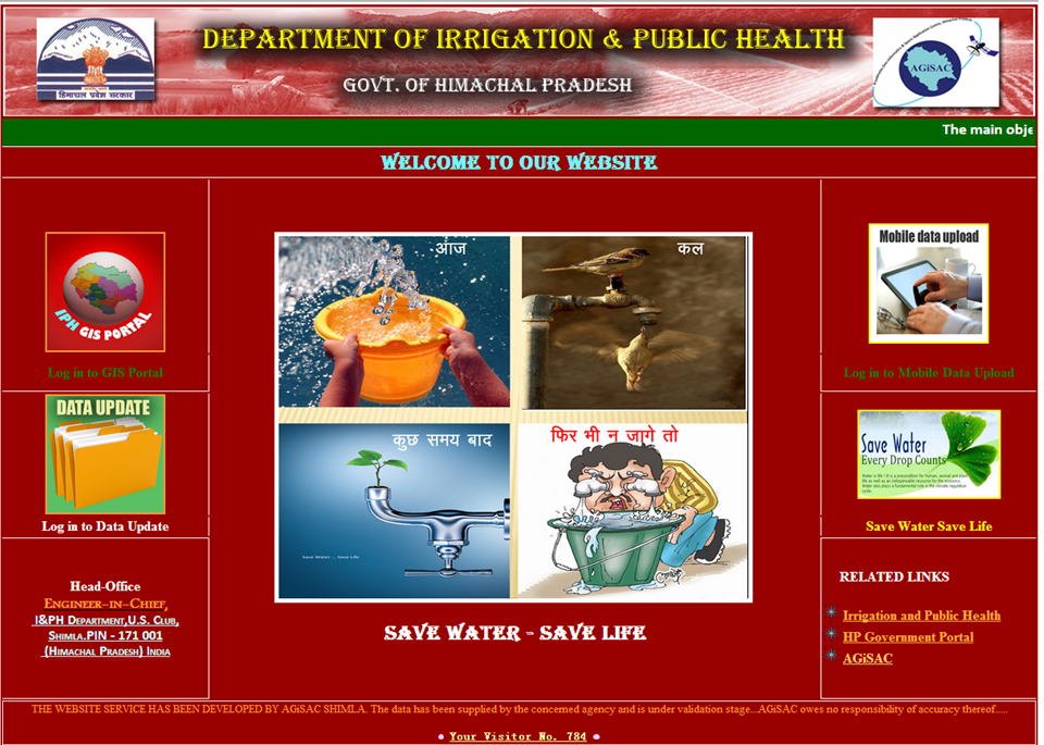
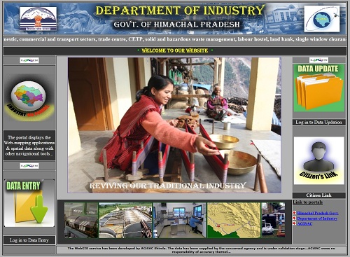
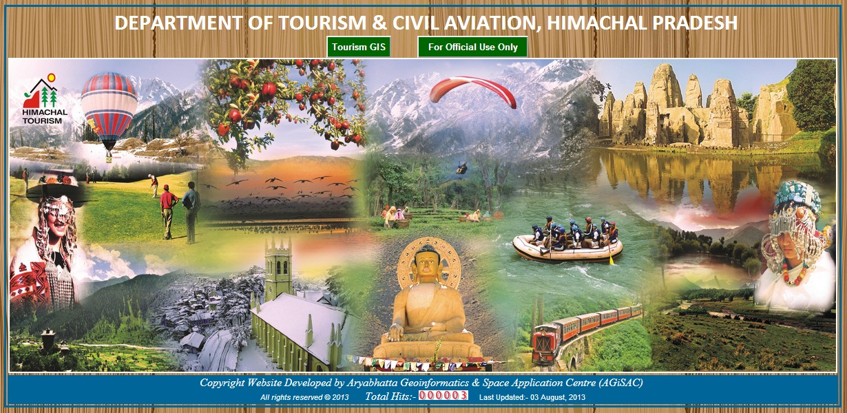
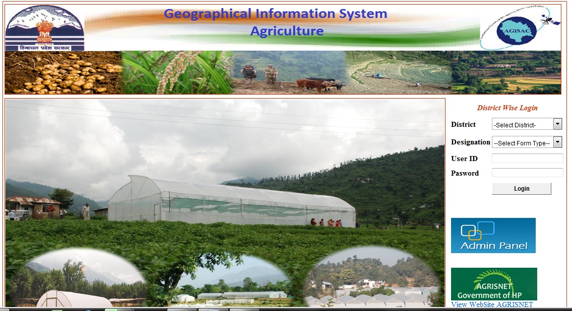
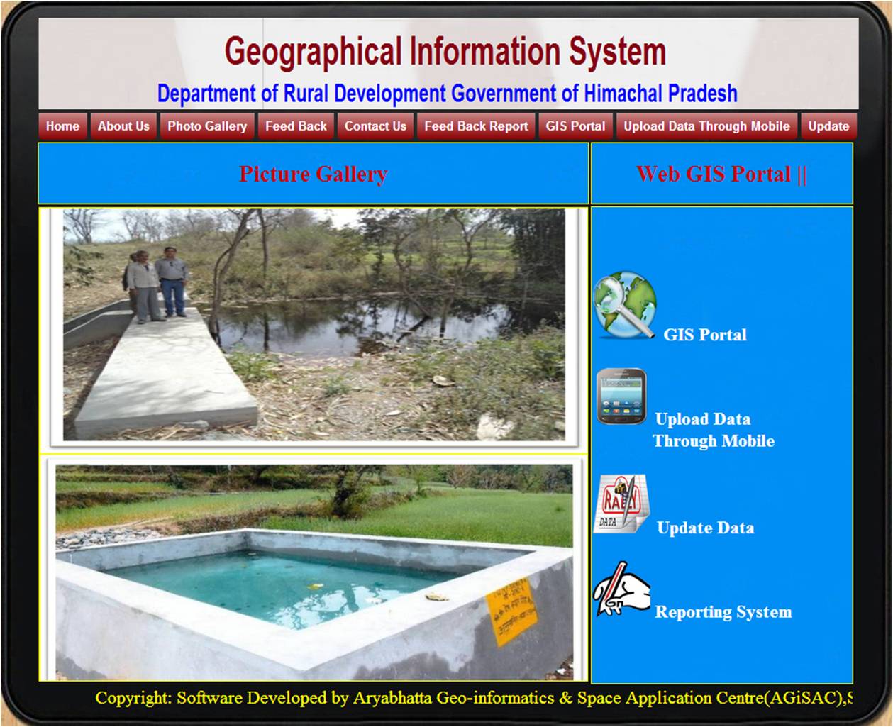
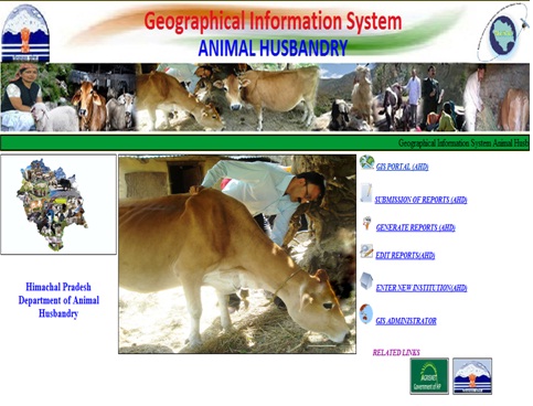
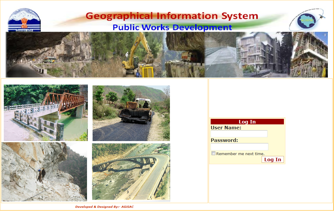
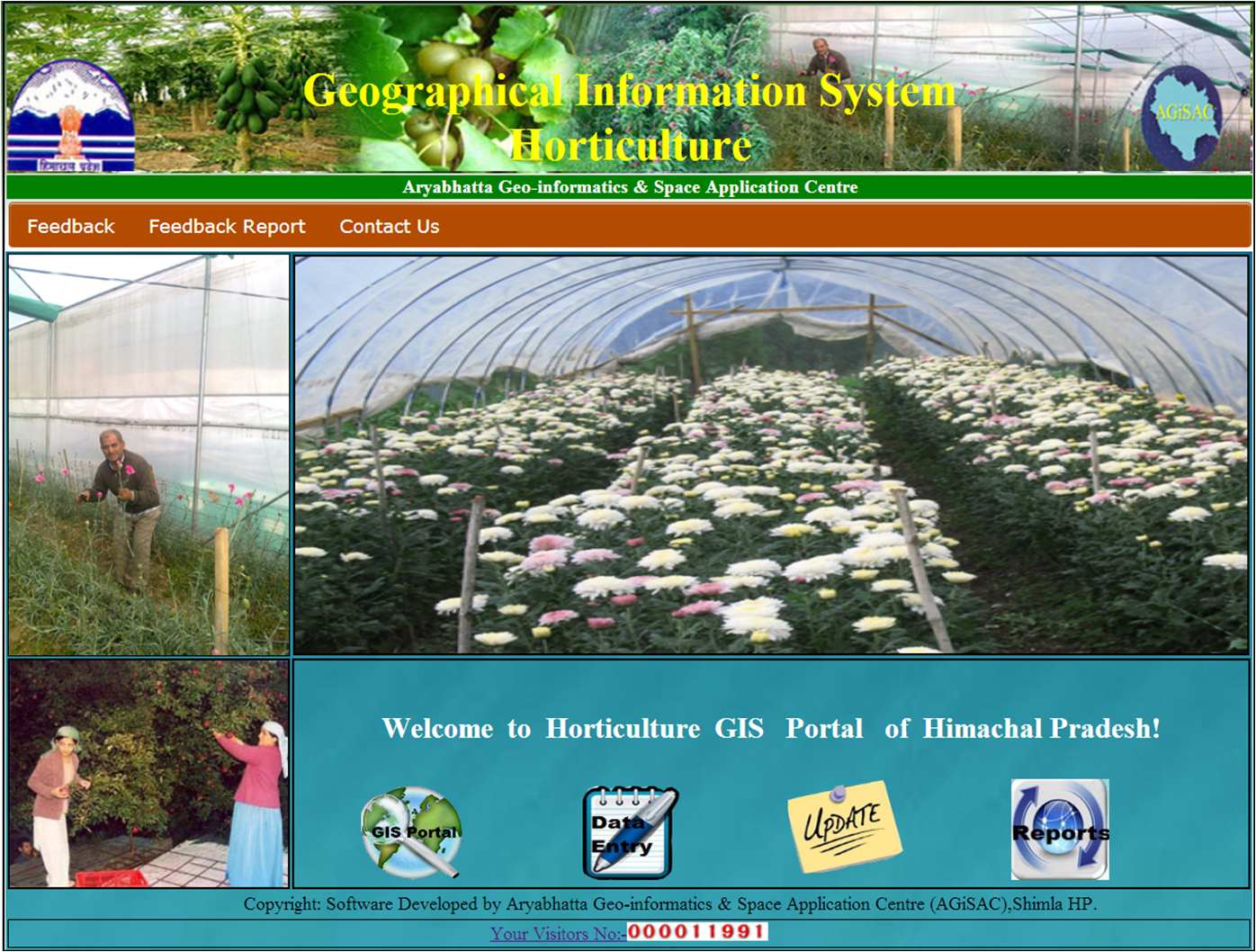
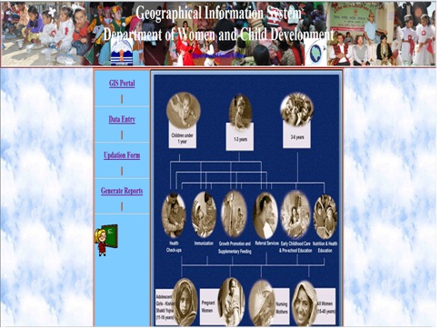
AGiSAC has developed web-based and desktop applications for the State user Departments such as Forest, Health, Education, Irrigation & Public Health, Environment, Science & Technology, Tourism, Agriculture, Horticulture, Rural Development etc; and is in process of developing applications for other State user Departments/ Agencies.
The Decision Support Systems (DSS) would be hosted on a web portal and efficient low cost data gathering devices like GPS enabled mobile phones would be used for automatic updating of the databases. Various types of applications developed by AGiSAC include:
DEPARTMENTAL INFORMATION SYSTEMS:
Various Departmental databases on Staff, Physical Infrastructure, Equipments etc., can be mapped and interpreted geo-spatially. This would aid the user Departments for HR purposes such as planning postings of staff in vacant areas, monitoring of capacity building measures, planning upkeep of existing infrastructure. Further regional and sub regional balance in all spheres can be measured, monitored and maintained effectively.
DEVELOPMENTAL PLANNING, DECISION SUPPORT APPLICATIONS & YES OR NO DECISIONS:
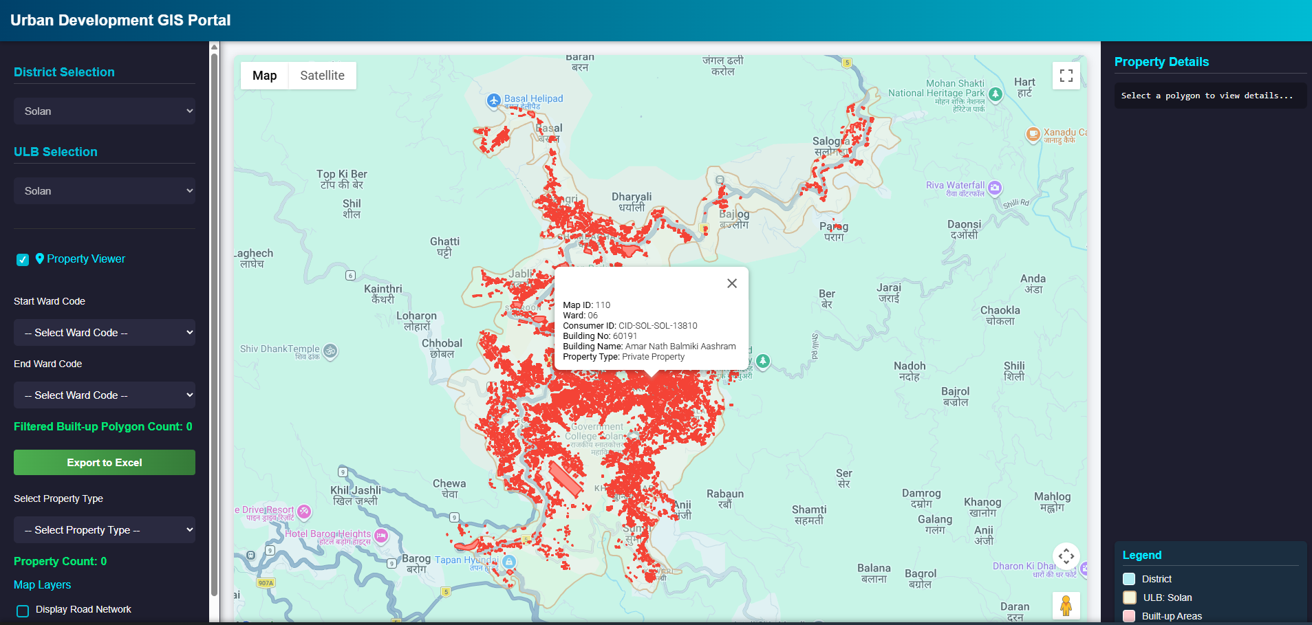
This type of application would help the user Departments to decide on establishing an asset/scheme/project etc., based on geospatial analysis of various variables including terrain, topography etc. A gap analysis of existing infrastructure coupled with inputs like user base, routes etc, would help them to identify ideal locations for siting or establishing an infrastructure. For example, opening of new facilities such as fair price shop, health facilities and schools, finding nearest routes to locate health facilities, finding suitable sites for timber/non-timber based plantations, action plan generation for MGNREGS works can be carried out.
ADVISORIES & ALERTS:
These are applications intended for user agencies to disseminate important information in the form of alerts/advisories to the grass-root level functionaries in case of exigencies as and when they arise. Such applications are vital in disaster management as it can provide effective early warning which can minimize loss of life and property. Few of the identified applications include alerts to card-holders on the availability of ration in fair-price shops, seasonal advisories to the farmers about the soil health based on soil health cards, disease or pest outbreak alerts, forest fires and flood early warning systems etc.
SURVEILLANCE & REGULATORY APPLICATIONS:
Surveillance is very useful to Governments and law enforcement agencies to maintain control, recognize and monitor threats, and prevent/investigate unwanted activity. With this application, Government agencies now possess an unprecedented ability to monitor the activities of their people and works. Some of the potential applications are surveillance of near-real time occurrences of diseases, enforcement of regulatory measures in environment and other sectors, surveillance of field level Government functionaries operating in field and temporal and spatial monitoring of ear-marked sites/areas on regular intervals etc.
MONITORING & EVALUATION OF DEVELOPMENTAL WORKS AND SCHEMES:
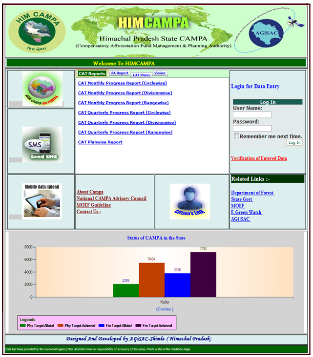
Various user Departments are undertaking/executing development schemes throughout the state which need regular monitoring during it’s implementation and evaluation of its impact post-implementation. Near real time monitoring and evaluations of Government sponsored schemes/programmes such as MGNREGS, watershed development projects, Catchment Area Treatment schemes etc., can be carried out by photo tagging of assets.
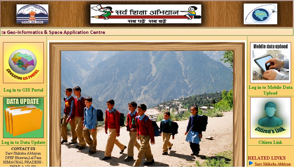
GIS MOBILE APPLICATIONS:
Near real-time integration of mobile-based applications into the web-applications for updation, visualization of vital information such as alerts from field, presence monitoring of staff using advanced communication technologies are being carried out by AGiSAC. To and fro mobile based information dissemination among different levels of government functionaries and public is not only quick but also cost-effective.